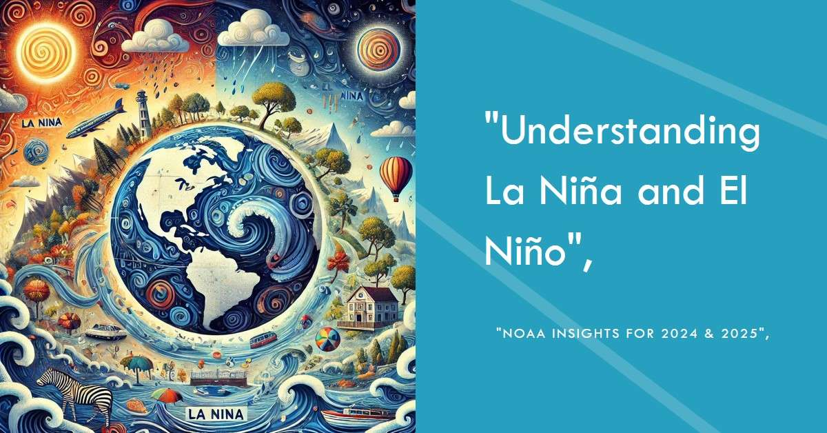
Understanding La Niña and El Niño: NOAA Insights for 2024 & 2025
Contents
- 1 Understanding La Niña and El Niño: NOAA Insights for 2024 & 2025
- 1.1 Introduction: How Two Ocean Patterns Shape Our World
- 1.2 What Are La Niña and El Niño?
- 1.3 How Do These Patterns Affect Global Weather?
- 1.4 What Causes La Niña and El Niño?
- 1.5 What’s Ahead for 2024 & 2025?
- 1.6 Why Does NOAA Monitor La Niña and El Niño?
- 1.7 Practical Tips: Traveling During La Niña or El Niño
- 1.8 FAQs About La Niña and El Niño
- 1.9 Conclusion: Why Understanding ENSO Matters
Introduction: How Two Ocean Patterns Shape Our World
Every few years, the vast Pacific Ocean takes center stage in influencing weather patterns across the globe. At the heart of this phenomenon are La Niña and El Niño, two powerful phases of the El Niño-Southern Oscillation (ENSO) cycle. These climate events are not just meteorological terms—they’re the hidden forces behind droughts, floods, hurricanes, and even shifts in global temperatures.
With NOAA (National Oceanic and Atmospheric Administration) predicting significant developments for 2024 and 2025, understanding these patterns isn’t just for weather enthusiasts. Farmers, travelers, policymakers, and everyday citizens are directly impacted by their ripple effects. So, what exactly are La Niña and El Niño? And how can knowing about them help us prepare for what’s coming?
What Are La Niña and El Niño?
La Niña and El Niño are two sides of the same coin. They’re phases of the ENSO cycle, which arises from the interaction between the Pacific Ocean and the atmosphere above it. Let’s break it down.
La Niña: The Cooling Phase
La Niña happens when strong trade winds push warm surface waters toward the western Pacific. This movement allows cooler water from the ocean depths to rise in the eastern Pacific. Imagine standing by the ocean and feeling a sudden chilly wave—that’s La Niña on a global scale.
Key Features of La Niña:
- Cooler waters in the eastern Pacific.
- Stronger trade winds.
- Wetter conditions in Southeast Asia and Australia.
- Drier conditions in the southern United States.
El Niño: The Warming Phase
El Niño is La Niña’s fiery counterpart. It occurs when trade winds weaken, and warm waters spread across the central and eastern Pacific. This shift flips global weather patterns on their head.
Key Features of El Niño:
- Warmer waters in the eastern Pacific.
- Weaker trade winds or even reversed winds.
- Heavy rains in South America.
- Droughts in Australia and Southeast Asia.
A Fun Comparison: If La Niña is a cooling rainstorm, El Niño is a blazing heatwave, with both disrupting “normal” weather patterns.
How Do These Patterns Affect Global Weather?
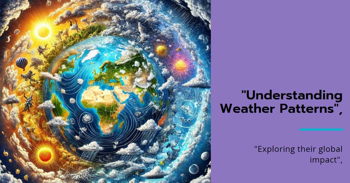
The beauty—and chaos—of La Niña and El Niño lies in how they influence weather thousands of miles away. Their impacts are as varied as they are profound.
1. Rainfall: Feast or Famine
- La Niña often brings torrential rains to Southeast Asia and Australia, leading to lush monsoon seasons. Meanwhile, parts of the U.S. Gulf Coast endure droughts.
- El Niño, on the other hand, drenches the coast of South America with relentless rain, while Southeast Asia experiences parched skies and empty reservoirs.
2. Temperature Extremes
La Niña is linked to cooler winters in the northern U.S., while El Niño is often accompanied by warmer-than-average winters globally. For farmers, these temperature shifts can mean longer growing seasons—or devastating crop failures.
3. Hurricanes and Cyclones
- La Niña creates conditions ripe for hurricanes in the Atlantic. Reduced wind shear allows storms to grow stronger and last longer.
- El Niño, by contrast, suppresses Atlantic hurricanes but fuels intense Pacific cyclones.
What Causes La Niña and El Niño?
At their core, these phenomena are a result of a tug-of-war between ocean currents and atmospheric pressure systems.
- Trade Winds:
Stronger-than-normal trade winds fuel La Niña by pushing warm water westward. When these winds weaken, El Niño takes over, allowing warm water to spread eastward. - Ocean Temperatures:
The Pacific’s surface water temperature is the main trigger. Cooling waters indicate La Niña, while warming waters point to El Niño. - Feedback Loops:
These events are self-reinforcing. For example, cooler waters in La Niña strengthen trade winds, which in turn deepen the cooling.
What’s Ahead for 2024 & 2025?
NOAA’s models suggest an interesting transition between La Niña and El Niño over the next two years.
- 2024: Expect lingering La Niña-like conditions early in the year. Cooler waters in the eastern Pacific could bring heavy rains to Southeast Asia and heightened hurricane risks in the Atlantic.
- 2025: Predictions lean toward a shift into El Niño. Warmer waters could dominate, leading to intense storms in the Pacific and heatwaves globally.
Why Does NOAA Monitor La Niña and El Niño?
Predicting these phenomena isn’t just a scientific exercise—it’s about preparing the world for their wide-ranging impacts.
How NOAA Tracks ENSO
- Satellites: These orbiting observatories measure sea surface temperatures and atmospheric pressure changes.
- Ocean Buoys: A vast network of buoys provides real-time data on water temperature, salinity, and currents.
- Climate Models: NOAA uses powerful simulations to predict how these patterns will evolve and influence global weather.
Practical Tips: Traveling During La Niña or El Niño
Weather disruptions caused by these phenomena can upend travel plans. Here’s how to prepare:
- Check the Forecast: Stay updated with NOAA’s seasonal outlooks before booking.
- Choose Stable Destinations: Avoid regions prone to floods (like Southeast Asia during La Niña) or droughts (like Australia during El Niño).
- Pack Smart: Bring rain gear for wetter regions and hydration packs for dry areas.
- Get Travel Insurance: Extreme weather can lead to flight cancellations or delays.
CTA: Planning a trip during La Niña? Contact Desmo Travel for expert advice on safe and memorable destinations!
FAQs About La Niña and El Niño
Applied FAQ Schema
Q: How do La Niña and El Niño differ?
A: La Niña cools the eastern Pacific and strengthens trade winds, while El Niño warms the waters and weakens these winds.
Q: How often do these events occur?
A: ENSO cycles happen every 2–7 years, with each phase lasting 9–12 months on average.
Q: Can these patterns affect global temperatures?
A: Yes! La Niña tends to cool global temperatures, while El Niño often contributes to global warming.
Q: How do La Niña and El Niño affect global weather patterns?
A: La Niña cools the Pacific Ocean, leading to wetter conditions in Asia and Australia and drier conditions in parts of the Americas. El Niño, on the other hand, warms the Pacific, bringing heavy rains to South America and droughts to Southeast Asia and Australia.
Q: What is the El Niño-Southern Oscillation (ENSO) cycle?
A: The ENSO cycle is a natural climate pattern that alternates between La Niña, El Niño, and neutral phases. It arises from interactions between the Pacific Ocean and the atmosphere, influencing global weather.
Q: How often do La Niña and El Niño events occur?
A: These events typically occur every 2–7 years and can last 9–12 months, although some persist for up to two years.
Q: What is the difference between La Niña and El Niño in simple terms?
A: La Niña cools the Pacific Ocean and strengthens trade winds, causing wetter conditions in Asia. El Niño warms the Pacific and weakens winds, leading to heavy rains in South America and droughts in Asia.
Q: Can La Niña and El Niño occur back-to-back?
A: Yes, these events can transition directly from one to another or repeat in consecutive years, such as a back-to-back La Niña cycle.
Q: How does NOAA monitor La Niña and El Niño?
A: NOAA uses satellites, ocean buoys, and climate models to track sea surface temperatures, wind patterns, and atmospheric changes in real-time.
Q: How do these patterns influence hurricanes?
A: La Niña tends to increase hurricane activity in the Atlantic due to reduced wind shear, while El Niño suppresses Atlantic hurricanes but intensifies storms in the Pacific.
Q: What is the impact of La Niña and El Niño on agriculture?
A: La Niña often benefits agriculture in wet regions like Southeast Asia, but it can cause droughts in the Americas. El Niño disrupts rainfall patterns, potentially leading to crop failures in affected regions.
Q: How does La Niña impact travel plans?
A: La Niña can bring heavy rains to some regions, increasing flood risks, while causing droughts in others. Travelers should monitor NOAA forecasts and choose destinations less affected by extreme weather.
Q: Are La Niña and El Niño linked to climate change?
A: While La Niña and El Niño are natural phenomena, climate change may influence their frequency and intensity, amplifying their effects on global weather patterns.
Q: Can La Niña or El Niño increase the risk of wildfires?
A: Yes, drier conditions caused by La Niña in regions like the southern U.S. can increase wildfire risks, while El Niño can contribute to droughts that fuel wildfires in Southeast Asia and Australia.
Q: How do these phenomena affect global temperatures?
A: La Niña tends to cool global temperatures, while El Niño often contributes to warmer-than-average temperatures.
Q: What regions are most affected by La Niña?
A: La Niña significantly impacts Southeast Asia, Australia, the Pacific Northwest, and parts of South America, often causing extreme rainfall or drought.
Q: How can businesses prepare for La Niña and El Niño?
A: Businesses can prepare by monitoring seasonal forecasts, adjusting operations to account for extreme weather, and creating contingency plans for disruptions in supply chains and agriculture.
Q: What role does the Pacific Ocean play in La Niña and El Niño?
A: The Pacific Ocean is central to these phenomena. Changes in sea surface temperatures and trade winds create the conditions that drive La Niña and El Niño.
Q: How do these patterns affect the Indian Monsoon?
A: La Niña often strengthens the Indian Monsoon, bringing above-average rainfall, while El Niño weakens it, leading to potential droughts in India.
Q: How can individuals stay informed about La Niña and El Niño?
A: Individuals can follow NOAA updates, local weather advisories, and climate reports to stay aware of developing conditions and their potential impacts.
Q: Are there specific safety measures to take during these events?
A: Yes, staying informed, having an emergency plan, and preparing for extreme weather (floods, droughts, hurricanes) can help mitigate risks during La Niña or El Niño.
Q: What is a “neutral” phase in the ENSO cycle?
A: A neutral phase occurs when neither La Niña nor El Niño conditions dominate, resulting in more typical weather patterns without major global disruptions.
Q: What’s the connection between La Niña and extreme winters?
A: La Niña often brings harsher winters to the northern U.S. due to colder Pacific waters influencing atmospheric conditions.
Q: How do La Niña and El Niño affect fisheries?
A: La Niña can enhance nutrient upwelling in the Pacific, benefiting fisheries, while El Niño disrupts marine ecosystems, reducing fish populations.
Q: How long does it take for La Niña or El Niño to develop?
A: These events typically take months to develop, with NOAA monitoring early signs such as shifts in sea surface temperatures and atmospheric pressure.
Q: Is one phase (La Niña or El Niño) worse than the other?
A: Neither is inherently “worse”; their impacts depend on location and context. For example, La Niña may cause floods in one region while bringing drought relief to another.
Conclusion: Why Understanding ENSO Matters
La Niña and El Niño are not just fascinating climate phenomena—they’re powerful forces shaping the world’s weather, economies, and ecosystems. As we face the transitions predicted for 2024 and 2025, staying informed is critical.
Whether you’re a farmer bracing for floods, a traveler planning your next trip, or simply someone curious about the climate, knowing the impacts of these patterns helps us adapt and thrive. And with NOAA’s advanced monitoring, we’re better equipped than ever to navigate what lies ahead.
Disclaimer:
“This article is for informational purposes only. Always prioritize safety and follow local advisories during extreme weather conditions.”

